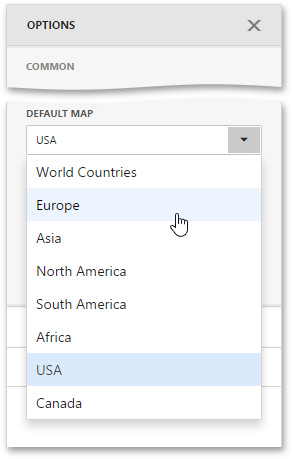
Data Insights comes with a set of default maps showing various parts of the world. The following maps are included.
- World Countries - a map of the world
- Europe - a map of Europe
- Asia - a map of Asia
- North America - a map of North America
- South America - a map of South America
- Africa - a map of Africa
- USA - a map of the USA
- Canada - a map of Canada
To select a required default map, go to the Common section of the Options menu and use the Default Map dropdown list.
After you select the map, you can display supplementary information (such as the name of a country, state, etc.). To do this, go to the Options menu and open the Attribute Name dropdown list.
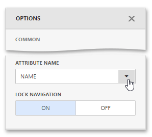
This list displays available attributes for the current map. Each set of attribute values is related to a specific map shape.
The Choropleth Map dashboard item allows you to perform navigation actions such as zooming and scrolling using the mouse.
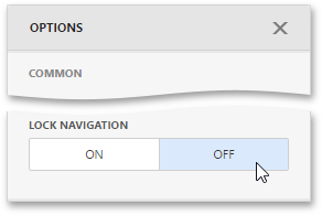
You can enable or disable the capability to scroll/zoom the map using the Lock Navigation setting in the Choropleth Map's Options menu.
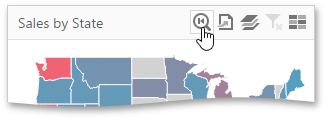
To display the entire map within the dashboard item, use the Initial Extent button (the  icon) in the Choropleth Map's caption.
A Choropleth Map provides the capability to display titles within map shapes and allows you to manage what data to show in the shape tooltips.
To manage map titles and tooltips, go to the Shape Labels section of the Choropleth Map's Options menu.
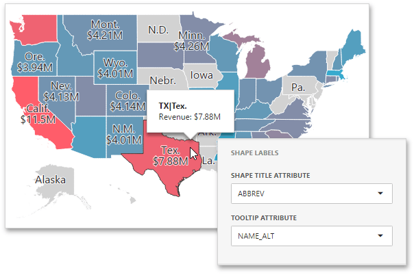
The following settings are available.
| Option | Description |
|---|---|
| Shape Title Attribute | Allows you to select the attribute whose values are displayed within corresponding map shapes. Summary values are included to shape titles by default. |
| Tooltip Attribute | Allows you to configure information related to a hovered shape. You can choose whether to use a binding attribute to display as the title of shape tooltips (the Use binding attribute value) or specify a custom attribute from the dropdown list. |
To display a legend within a map, open the Choropleth Map's Options menu and go to the Colour Legend section.
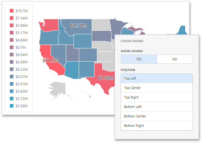
The following options are available.
| Option | Description |
|---|---|
| Show Legend | Allows you to control the visibility of legend. |
| Position | Specifies the legend's position on a map. |